Transit Villages Plan
This new specific plan will focus on future development around three new train stations in the core of Redlands, future ”transit villages” will surround each of the three station sites, and will help implement the long-term vision for future development contained in the 2035 General Plan. The Redlands City Council approved and adopted the Transit Villages Specific Plan on October 18, 2022. The Final EIR was also certified and adopted on October 18, 2022.
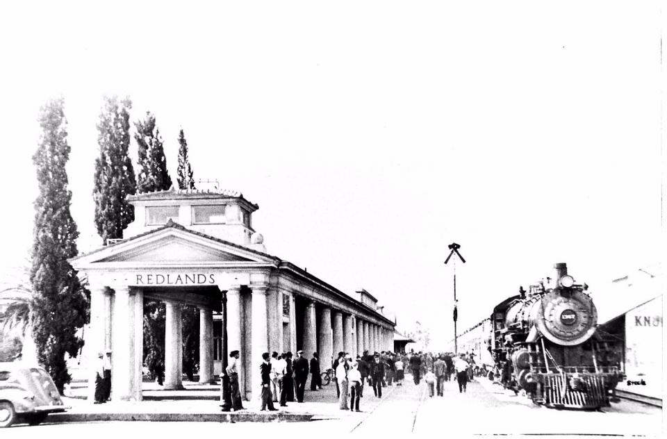
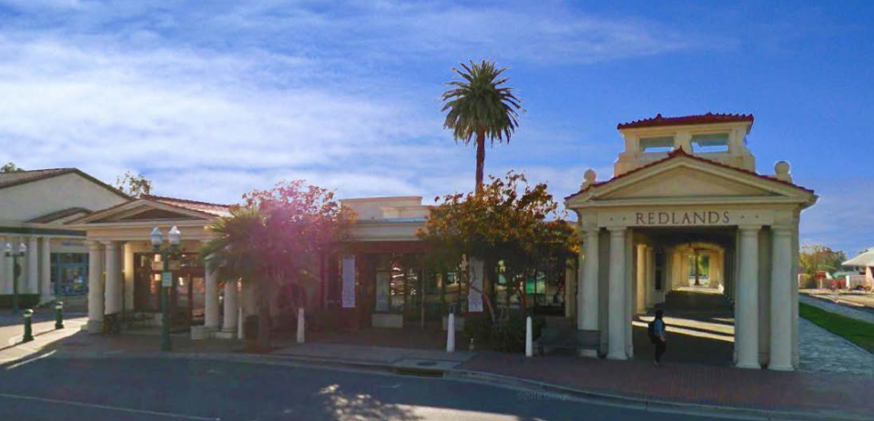
At Left: the historic Santa Fe Depot (circa 1945) in Downtown Redlands, now on the National Register of Historic Places. Train lines began serving Redlands in the late 1800s, connecting the sprawling citrus industry to destinations throughout the nation.
click here to view the online zoning map
Transit Villages Specific Plan
Chapter 1: Introduction
Chapter 2: Vision
Chapter 3: Redlands Mall
- Regulating Plan (TVSP Zoning Districts Map)
- Table 4-2. Allowed Land Uses
Chapter 4 sections: - 4.1 Introduction, Purpose and Applicability
- 4.2 Regulating Plan, Zones, and Land Uses
- 4.3 Development Standards
- 4.4 On-Site Open Space, Fence & Wall Standards
- 4.5 Building Articulation and Massing Standards
- 4.6 Frontage Standards
- 4.7 Building Design Standards
- 4.8 Emergency Shelter Standards
- 4.9 Sign Standards
- 4.10 Services and Utilities Placement and Screening
- 4.11 On-Site Landscape, Outdoor Lighting, and Public Art Standards
- 4.12 Parking Design Standards
- 4.13 Sustainable Storm Water Management Guidelines
- 4.14 Block and Special Lot Design Standards
- 4.15 Street and Streetscape Design Standards
- 4.16 Park, Plaza, and Open Space Design Standards
Chapter 5: Transportation and Circulation
Chapter 6: Parking
Chapter 7: Public Realm of Open Space & Landscape
Chapter 8: Infrastructure
Chapter 9: Implementation and Administration
The Transit Villages Specific Plan (Specific Plan No. 65) was approved and adopted by the Redlands City Council on October 18, 2022. The related update to the City’s official Zone Map (Ordinance No. 2947) was approved by City Council on November 1, 2022, and became effective on December 1, 2022.
About
The Transit Villages Specific Plan is a critical tool for implementing the new 2035 General Plan. More than 130 Policies and Actions in the 2035 General Plan are directly related to implementing the Transit Village Concept. For example, Policy 4-P.51 states, “Complete a Transit Village Plan that will define: village character, design guidelines for architecture and site development, permitted and conditional uses, building setbacks and heights, yards, interfaces with the public streets and sidewalks, security measures, and transitions to existing neighborhoods.”
The Transit Villages Specific Plan is a regulating document similar to the Zoning Code. As a specific plan, it contains very detailed development standards (such as building placement and height, setbacks, landscape, signs, etc.), types of allowed land uses, architectural design requirements, infrastructure requirements, and public realm improvements for the future development of the transit villages areas. In this case, for the Transit Villages Specific Plan project, the geographical area is identified by the Specific Plan Boundary map (refer to the “Regulating Plan” in Chapter 4 to see the boundaries).


